


Cycling long route 95 Km - Lucca-Ponte a Moriano-Celle dei Puccini- Chiatri-Massaciuccoli-Lucca
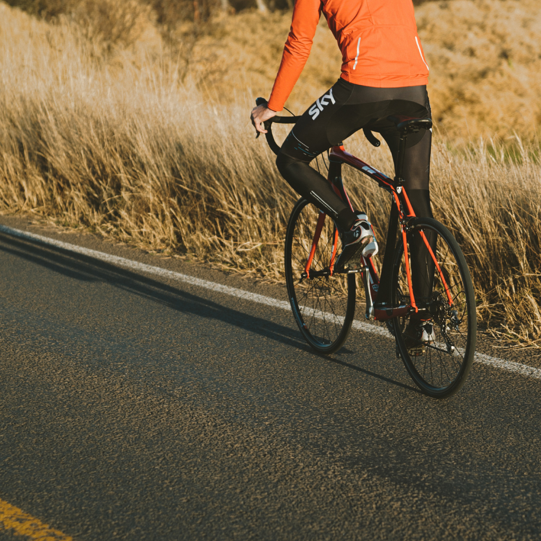
 By bike


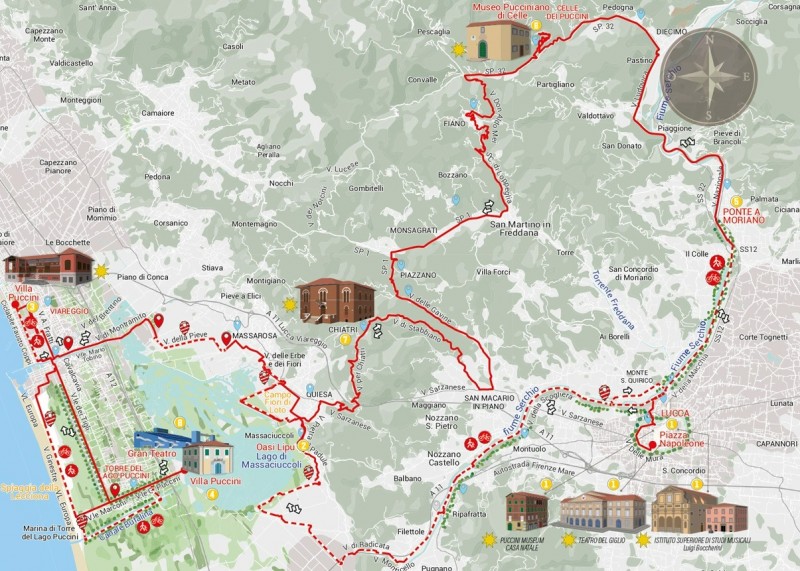

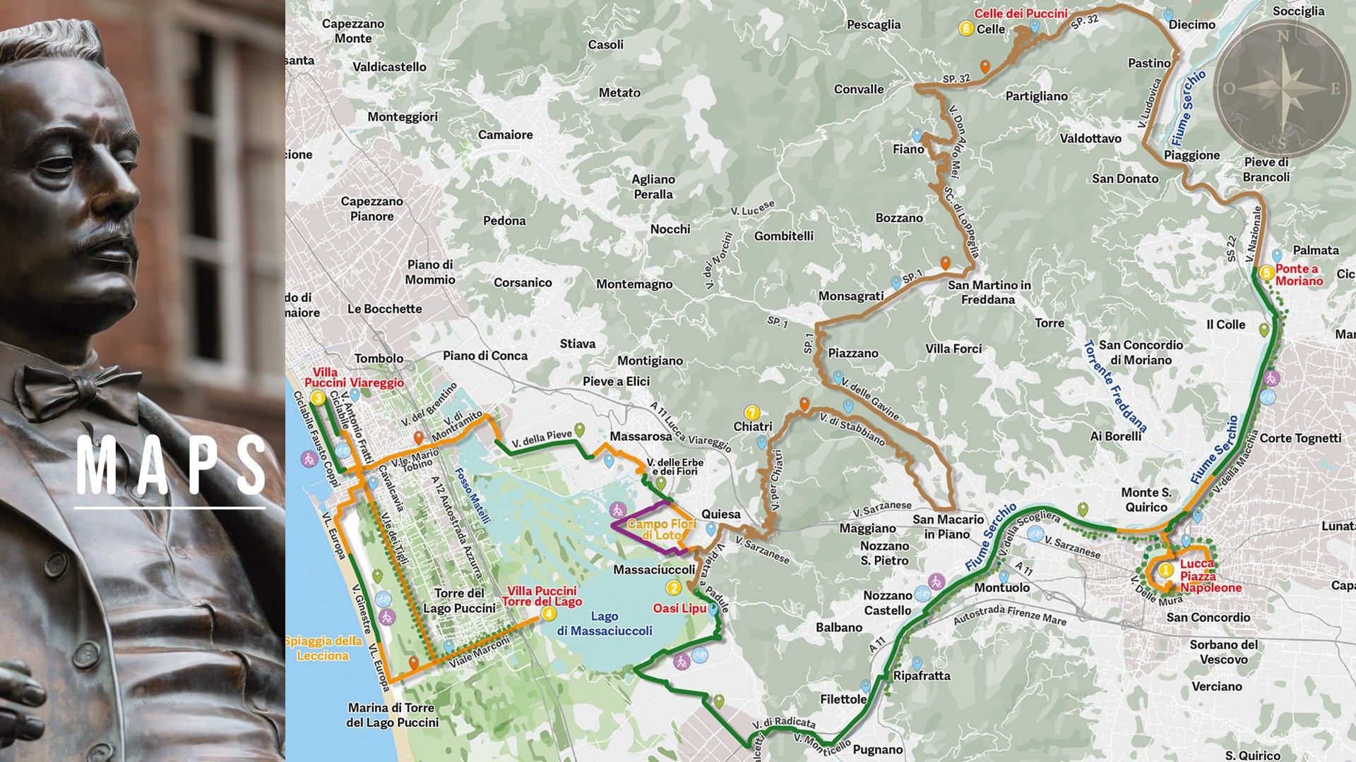
LONG ROUTE 95 km - 1200 METERS - ELEVATION GAIN.
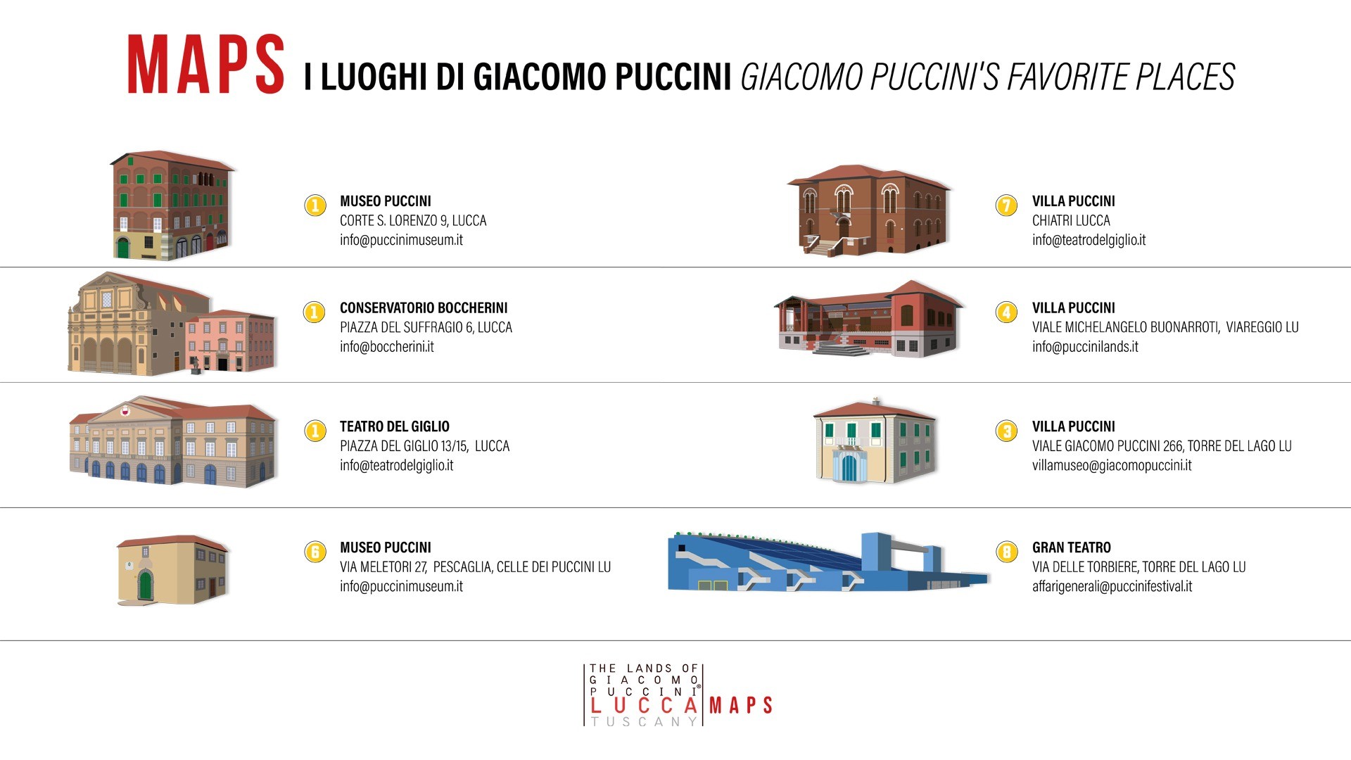
Start from piazza Napoleone in the center of Lucca, go up the Renaissance walls and go down to piazza Santa Maria and then exit the walls. Following the cycle path in via Barsanti e Matteucci you arrive at piazzale Don Baroni, where you will find the ramp that crosses the hillock of the river Serchio and leads into the River Park. Here, turning right → proceed to the intersection with via per Camaiore. Once you have crossed the intersection, proceed towards Ponte San Quirico and then, just before the bridge, turn right → into via della Macchia. From here continue along the Puccini cycle - pedestrian itinerary until the end , at the intersection with via Nazionale: turn left ← and continue in the direction of Borgo a Mozzano up to Diecimo: at the roundabout turn left ← (3rd exit) and proceed along the SP32 until the turning on the right → to reach Celle dei Puccini. Return to the SP32 again, continue for about 2.5 km until the left turn ← to Fiano, which in 10 km leads to the SP1 via per Camaiore. Here turn right → and continue for 4.5 km until the left turn ← towards Piazzano to reach San Macario. Continue up to Chiatri passing through Farneta and then descend Monte Quiesa in the direction Massarosa. At Quiesa, turn left ← into via Pietra a Padule and continue to via del Porto, which leads to the LIPU (italian bird protection league) Oasis on Lake Massaciuccoli. From here take back the Medium Route again to return to Lucca.


